
Search Oregon City Streets by Address
An address-first sequence keeps the Oregon City street directory grounded in records that are actually keyed to land. Start with the physical address in CMap, not a presumed owner or household name. CMap supplies the parcel setting, while Assessment & Taxation and the Recording Division handle later ownership and title questions through their own routes. The city permit search and library holdings then add a work-history or dated historical layer. Each step narrows the record request without turning an address hit into a claim about current occupants.
- Enter the street number in CMap and choose the matching address suggestion. Confirm the displayed City or Jurisdiction context, then note the parcel, account, taxlot, map layers, and any subdivision or lot-and-block clue.
- Pan or zoom around the selected parcel when the question concerns a short segment. CMap shows nearby outlines and streets, but it has no verified public whole-street owner result.
- Use the parcel identifier to contact Clackamas County Assessment & Taxation for the owner-information route if a releasable tax or ownership record is needed. Keep mailing and situs addresses distinct.
- Take the owner, recording-date, document, and legal-description clues to the Recording Division. Its public research and copy area is the documented route for deed-chain work.
- Check Oregon City permit records for the address's open, final, or inspection history. A permit party or project is address context, not evidence of who lives there.
- For an older address question, ask Oregon City Public Library reference staff about newspapers, census film, map sheets, telephone-directory leads, and other dated sources.
For a particular mail delivery, 97045 is the verified in-city ZIP, but a postal name does not settle city jurisdiction. CMap's jurisdiction result is the local check for the property itself.
Oregon City CMap Street Search
CMap is the county's starting screen for an Oregon City street search. It has a mode selector rather than a public name roster. Pick the mode that matches the information already in hand, use the suggested match, and save the parcel or taxlot context before changing tools. Parcel numbers require all eight digits, including leading zeroes. A taxlot uses the map number followed by the lot number without display dashes.
| CMap entry mode | Input | Use in an Oregon City street search |
|---|---|---|
| Address | Text autocomplete | Locate a physical address and select the matching parcel. |
| City | Text autocomplete | Set the municipal place context before narrowing a map view. |
| Parcel Number | Eight-digit text | Return to a known parcel or account, with leading zeroes retained. |
| Street Intersection | Street A & Street B | Start near a corner, adding jurisdiction when needed. |
| Taxlot Number | Map and lot text | Connect a mapped property to assessment and legal-description research. |
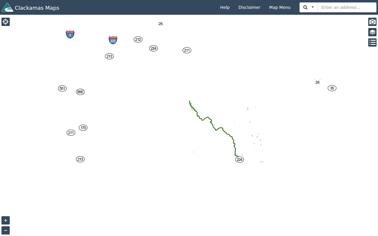
The CMap search menu shows the address, parcel, intersection, and taxlot choices used to begin a street-by-street search.
Use the selected map feature as a record locator. It is not a promise that every property on a visible street segment has the same jurisdiction or record history.
Oregon City Street Parcel Results
A selected CMap parcel brings together address placement, outlines, nearby streets, and several kinds of context. The Assessment group can show building square footage, bedroom and bathroom counts, year built, a last-sale field, and land, building, total, and assessed values. Other groups cover jurisdiction, voting geography, zoning and development, schools, public safety, utilities and districts, hazards, parks, surveys, and tax maps. Layers, imagery, legend, and locate controls help orient the Oregon City street directory search.
The useful limit is just as important. Clackamas County does not publish owner names or owner mailing addresses in CMap. Its boundary display is also not survey quality. Treat the screen as geographic and assessment context, then use the custodian route for a releasable ownership record. An owner or mailing contact can differ from the physical property address and does not establish present occupancy.
Oregon City Address Record Layers
Each address-linked source has a narrower role. Combining them without overstating any one result makes an Oregon City street directory more reliable. The county's Tax History tool accepts an address or account number but does not assert a public owner-name search. City permits add project and inspection context. The recorder preserves recorded instruments, while maps and surveys help keep the physical parcel tied to its legal description.
| Address record | Custodian | What it can establish | Access boundary |
|---|---|---|---|
| CMap mapped property | Clackamas GIS | Address, taxlot, building facts, values, districts, maps, and parcel context | Free viewer; no owner name and no survey warranty. |
| Tax History | Assessment & Taxation | Value-history research by account number or address | Public tool; no public owner-name claim. |
| Owner or tax request | Assessment & Taxation | Releasable ownership or tax information | Phone, email, counter, or request; verify fields and costs. |
| Recorded instrument | Clackamas County Recording Division | Parties, recording placement, legal description, and title-interest history | Public research and copy area; no fully described public web form verified. |
| Permit record | Oregon City Building | Open or final permit status and inspections | Final and closed records reach back through 2002; content can vary. |
| Plat, survey, or tax map | CMap and County Surveyor | Lot, block, subdivision, and spatial continuity | A map is context, not a survey or an occupancy record. |
Assessment & Taxation identifies the county office that handles the property-tax and owner-information route. Ask for an estimate before requesting copies or data because the research did not verify a fixed fee for that service.
The county separates its online map and tax tools from owner-information access. That separation helps prevent a street search from being mistaken for a public resident list.
Follow Oregon City Street Deeds
When an Oregon City street question becomes a title question, change from house number to legal description. A deed chain follows the property through recorded instruments, often by comparing the same subdivision, lot and block, metes-and-bounds wording, or document reference from one transfer to the next. The Recording Division says property ownership can be traced in its records to the early 1850s, with records preserved on microfilm or computer image and a public research and copying area available.
- Situs address
- The physical location used by CMap and city permits. It can change in form or number over time.
- Taxlot
- A map-and-lot identifier that helps locate a parcel in assessment and map research. It is not, by itself, a legal description for recording.
- Plat
- A recorded map that can place a parcel within a subdivision, addition, lot, or block.
- Legal description
- The recorded property description, such as metes and bounds, subdivision lot and block, or a referenced book, page, or instrument number.
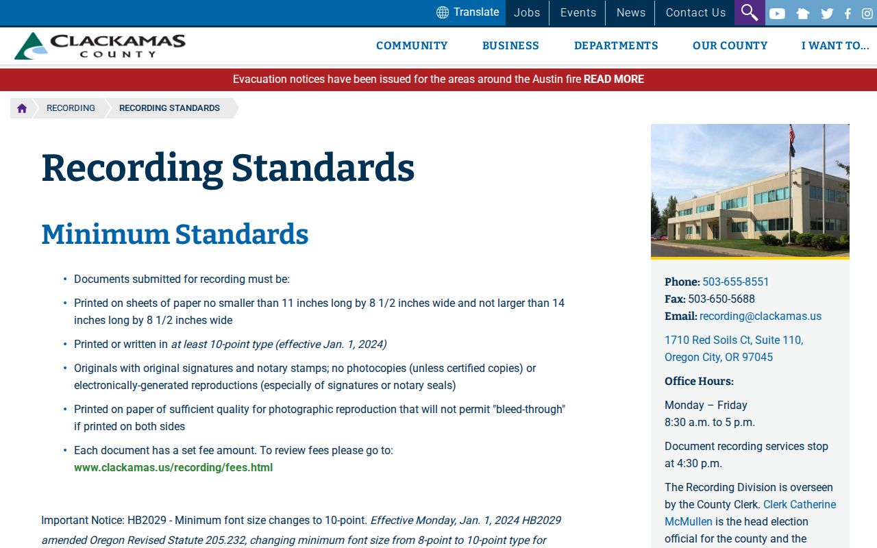
Recording standards explain that an assessor map, taxlot, or account alone is not an acceptable legal description. Bring the street address, any owner or party variants, approximate dates, subdivision and lot clues, and any document number or book/page detail to the counter. Ask staff for the current acquisition instrument, note grantor and grantee, recording date, and exact legal description, then use the prior seller as the next backward search target.
The counter route also supports copies and certifications. The verified schedule is $3.75 for a search plus $0.25 for the first page, $0.25 for each additional page, and $3.75 for certification.
Oregon City Street Permit Records
The city permit record is a useful work-history layer for an Oregon City street directory search. Oregon City Building Construction directs users to a Permit Record Search for current and open permits, status, inspections, and final or closed permits going back through 2002. Permit Activity Reports offer recent process visibility, but they are not a substitute for an address-specific search. The publicly described landing material does not prove every field or public search option in the linked system.

A permit can date work at a property and identify a record to request. It does not prove that a permit applicant, contractor, or owner occupied the address.
Permit applications moved to the city's Citizen Self Service, or CSS, route on January 1, 2025. Oregon City no longer accepts its building-permit applications through the state ePermits portal. The published categories include mechanical, electrical, plumbing, building, residential and commercial demolition, fire, and solar PV installation; an account is required to apply.
The City's permit-application notice documents the CSS transition and the current application route.

Use the permit record for a defined address and time period. For city-created documents that are not available online, the City Recorder's GovQA Records Center is the request fallback.
Oregon City Street Geography
Address research works better when the property geography is checked first. The City GIS audit found 17,354 address points inside Oregon City tagged 97045 on August 31, 2026, but a 97045 mailing address can extend beyond incorporated Oregon City. Use CMap to verify City or Jurisdiction for the parcel and use USPS for a particular delivery address. A physical or situs address, a mailing address, and a legal description are three separate forms of address evidence.
Oregon City's location on three terraces also matters for historical street work. Development began near Main Street and the falls, moved to the bluff and second terrace, then expanded on the upper terrace and eastward additions. Canemah is now inside city limits. For a property in an older addition, a subdivision map or historic plat can provide better continuity than a modern postal label.
The city addressing policy adds a practical search check: south and east sides of cardinal streets use even numbers, while north and west sides use odd numbers. On diagonal roads, NE and SE sides are even and NW and SW sides are odd. The policy also addresses infill, units, duplexes, accessory dwelling units, and suites. Those rules can help spot an entry error, but they do not establish a citywide historic renumbering or create a resident result.
Oregon City Historic Street Clues
Older street evidence needs a date and a geography check. The Oregon City Public Library holds newspaper microfilm, federal Oregon census film for 1850 through 1930, Sanborn map material, and a City Council and Commission proceedings index spanning 1850 to 1978. A dated newspaper mention, a map sheet, or a proceeding can explain a street improvement or address clue without claiming to name every household on that street.
Street-number matching alone is unsafe. The local record trail may cross terrace development, additions, parcel divisions, and later municipal changes. Research did not locate an official Oregon City citywide renumbering year or crosswalk. Compare plats, lot and block descriptions, council proceedings, and the source date before joining an old address to a present parcel.
Note: The 1849 courthouse fire warrants checking the actual archive series and date, not assuming a particular Oregon City land record was lost.
Oregon City Library Street Fallback
When a current address tool ends, the Oregon City Public Library is the documented historical fallback. Its reference-only Oregon Collection in the Carnegie building holds Oregon City, Clackamas County, and Oregon books, periodicals, reference works, and Oregon City High School yearbooks from 1910. The Genealogy Resources route also identifies in-library Ancestry access, the Oregon City Genealogy Interest Group, Early Oregon Voices digitization, microfilm scanning, and the Wilmer Gardner Research Library at the Museum of the Oregon Territory.
Ask the reference desk for a particular year, newspaper title, telephone-directory lead, map sheet, or cataloged source. The research did not verify a complete local reverse or criss-cross directory run, so a missing online street listing is not evidence that a past household never occupied an address. The historical collections are a better fit for a dated family-history question than a modern street-directory query.
For a long backward address trail, the Oregon City Directory Book focuses on the library and historical collection route.
Oregon City Street Search Limits
An Oregon City street directory can identify record paths, but it cannot name every household on a road. CMap has no owner names online. Assessment information may distinguish a mailing address from the property address. Recorded deeds show a dated property interest, not every resident. My Vote is an individual's authenticated registration and update tool, not a street browser, while a state voter-list request has separate procedures, restrictions, and exemptions. CMap's voting layer supplies only precinct and district geography.
Protected voter addresses and Address Confidentiality Program participants may be withheld. Utility and delivery data are not a valid address fallback, and protected personal identifiers should not be copied from recorded images. An absent map result or a restricted file does not invite workarounds. Ask the proper custodian about a narrow, lawful request instead.
Request Oregon City Street Records
A focused request is more likely to reach the right record holder. For county material, tell Clackamas Records Management or the relevant department the record type, property address or parcel/account, date range, and whether inspection or copies are wanted. Oregon Public Records Law procedures in ORS 192.324 govern acknowledgement, response, and permissible estimates. Court, vital, protected-voter, and confidential-address restrictions still apply.
For city-created records, use the Oregon City GovQA Records Center or ask the City Recorder for an inspection appointment. The city warns that its move from legacy WebDrawer to Laserfiche can delay a scan, so a missing self-service item is not proof that the original record is gone. Keep the street address, parcel clue, department, and time span together in the request.