
Oregon City Previous Residents by Era
One Oregon City address can leave different kinds of evidence in different periods. Recorded land instruments follow title interests. Permits date work at the property. Newspapers and census schedules can add household or event context. Each source has limits, so the useful question is not simply who appears first, but what the source establishes for a particular date. The table separates verified local coverage from leads that need a catalog or staff check.
| Source | Years It Covers | Where Held | What It Shows |
|---|---|---|---|
| Recording Division title records | Early 1850s to present county-held trail | Clackamas County Clerk public research and copying area | Recorded parties, instruments, and legal-description title history. |
| State Archives land series | Tax rolls 1850-1949; deed index 1850-1911; deeds 1855-1957 | Oregon State Archives Clackamas inventory | Historic taxpayer, deed, and land-description leads. |
| Oregon City newspapers | 1846-1992 across named local runs | Oregon City Library microfilm and Historic Oregon Newspapers | Dated notices, obituaries, advertisements, and address context. |
| Directory and telephone leads | 1932 telephone directory; 1936 rural-directory lead | Library catalog and reference staff | Possible name or address snapshots, subject to a verified holding. |
| Federal Oregon census | 1850-1930 on library microfilm; later release under the 72-year rule | Oregon City Public Library and federal or genealogy access | Household snapshot tied to the correct place and enumeration period. |
| City permit records | Final or closed permits back through 2002 | Oregon City Permit Record Search | Construction, inspection, and project chronology, not a resident roster. |
Begin with the period that needs explaining. A recent change may start with permits and the current parcel record. A much older house usually needs the legal description, deeds, tax rolls, maps, and dated library sources. The research did not verify a continuous Oregon City city-directory run, reverse-directory run, or citywide address-renumbering crosswalk. Do not fill those gaps by assuming one exists.
Oregon City Past Residents Start With a Parcel
For Oregon City past-resident research, first normalize the present property in CMap. Record the displayed address, taxlot or parcel context, jurisdiction, and any subdivision, lot, block, survey, or tax-map clue. CMap is rich in mapped property detail but does not publish owner names online. Assessment and Taxation is the separate county route for releasable owner or tax information after the parcel has been identified.
A street number is a helpful access point, not the durable historic key. The legal description links an instrument to a particular piece of land even when a road, addition, or house number needs interpretation. A mailing address obtained from a custodian can differ from the situs address, and neither one proves who lived at the property on a later date.
Clackamas County Recording Division identifies its public viewing, research, and copying area and says recorded property ownership can be traced in office records to the early 1850s.
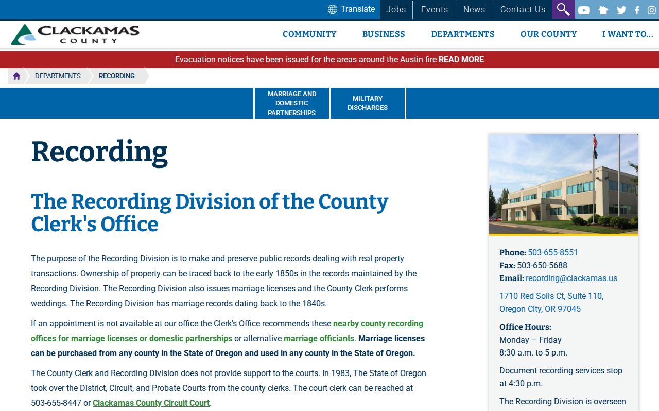
The Recording Division is the verified route for document-led title work; the research did not confirm a fully open public grantor-grantee web form.
Trace Oregon City Previous Residents Through Deeds
Deeds trace property interests, not every past household. Still, they provide the backbone for a backward Oregon City address timeline. Use the parcel’s legal description and the most recent known acquisition clues to ask the Recording Division for the current recorded instrument. Capture the document or book and page reference, recording date, grantor, grantee, and exact legal description. Then use the prior seller as the next historical search target and compare the land description before moving further back.
- Map the current Oregon City property in CMap and write down the legal-description clues, parcel context, and jurisdiction.
- Use the county’s Assessment and Taxation or Recording access route to identify the current acquisition instrument with a party, date, or legal-description lead.
- Copy the grantor, grantee, recording date, document number or book and page, and wording of the legal description.
- Search the earlier seller as a grantee for the prior purchase, then compare lot, block, metes-and-bounds, or other description language.
- Continue backward in the public research area, microfilm, computer image, or a focused copy request. The research did not publish an online historical-index cutoff.
- Grantor and grantee
- The grantor transfers an interest in a recorded instrument. The grantee receives that stated interest. In a backward search, the earlier seller can become the next grantee to investigate.
- Chain of title
- The ordered sequence of recorded property-interest transfers for the same described land. It is not a list of every person who lived there.
- Legal description
- The recorded land identifier, such as metes and bounds, a subdivision name with lot and block, or a book, page, or instrument reference. It is stronger than a street number when historic addresses are uncertain.
The Recording Division fee schedule describes the search, copy, and certification route once an item has been identified.
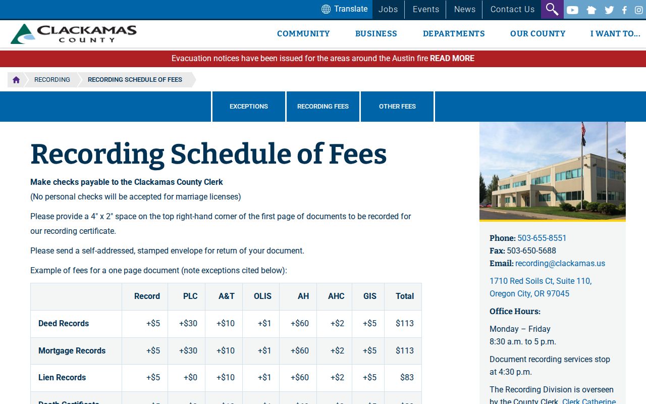
The verified schedule lists a $3.75 search charge plus a $0.25 first-page copy, $0.25 for each additional page, and $3.75 certification. Confirm the needed item and current terms with the office before ordering.
Oregon City Past Residents in State Archives
The Oregon State Archives fills important historic gaps in the county trail. Its Clackamas inventory lists assessment and tax rolls from 1850 through 1949, with indexes for 1901 through 1949; a deed index for 1850 through 1911; and deeds for 1855 through 1957. It also identifies land records, homestead grants, land-transaction registers, original plats, the 1850 Oregon City lot-purchase register, and other series that can preserve the description of land when a modern address is not enough.
These holdings do not create a continuous occupancy record. They offer dated anchors that can be compared with the County Clerk’s documents, plats, maps, and local papers. An 1849 courthouse fire is a reason to check the actual series and dates, not a reason to presume a particular record vanished. The county also maintains early land-corner records and a large map, road-record, plat, and survey library that can help with physical continuity.
The State Archives Clackamas County inventory is the source for the historic land-record coverage and series descriptions.
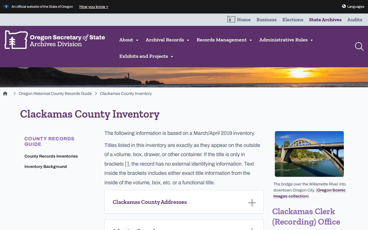
Use the inventory to select a defined series and year range rather than making a broad request for everyone connected with an address.
Oregon City Past Residents and Permit Dates
City permit records add a much later property layer. Oregon City states that its Permit Record Search can find current or open permits, check status and inspections, and search final or closed permits back through 2002. A permit can date construction, alteration, or inspection activity at an address. It does not establish household membership, and the published material does not verify every field or public search option in the dynamic system.
The city shifted building-permit applications from state ePermits to its Citizen Self Service portal on January 1, 2025. That change matters for current access, not for claiming older permit coverage. A missing self-service scan may also reflect the city’s ongoing migration from WebDrawer to Laserfiche. A specific Recorder or GovQA request is the documented fallback when an expected city record is not visible online.
Oregon City’s legacy WebDrawer record-search guidance documents the earlier archive route and its search options.
WebDrawer search guidance recommends Title Word with a wildcard for many records and cautions against treating a missing scan as proof that no original exists.
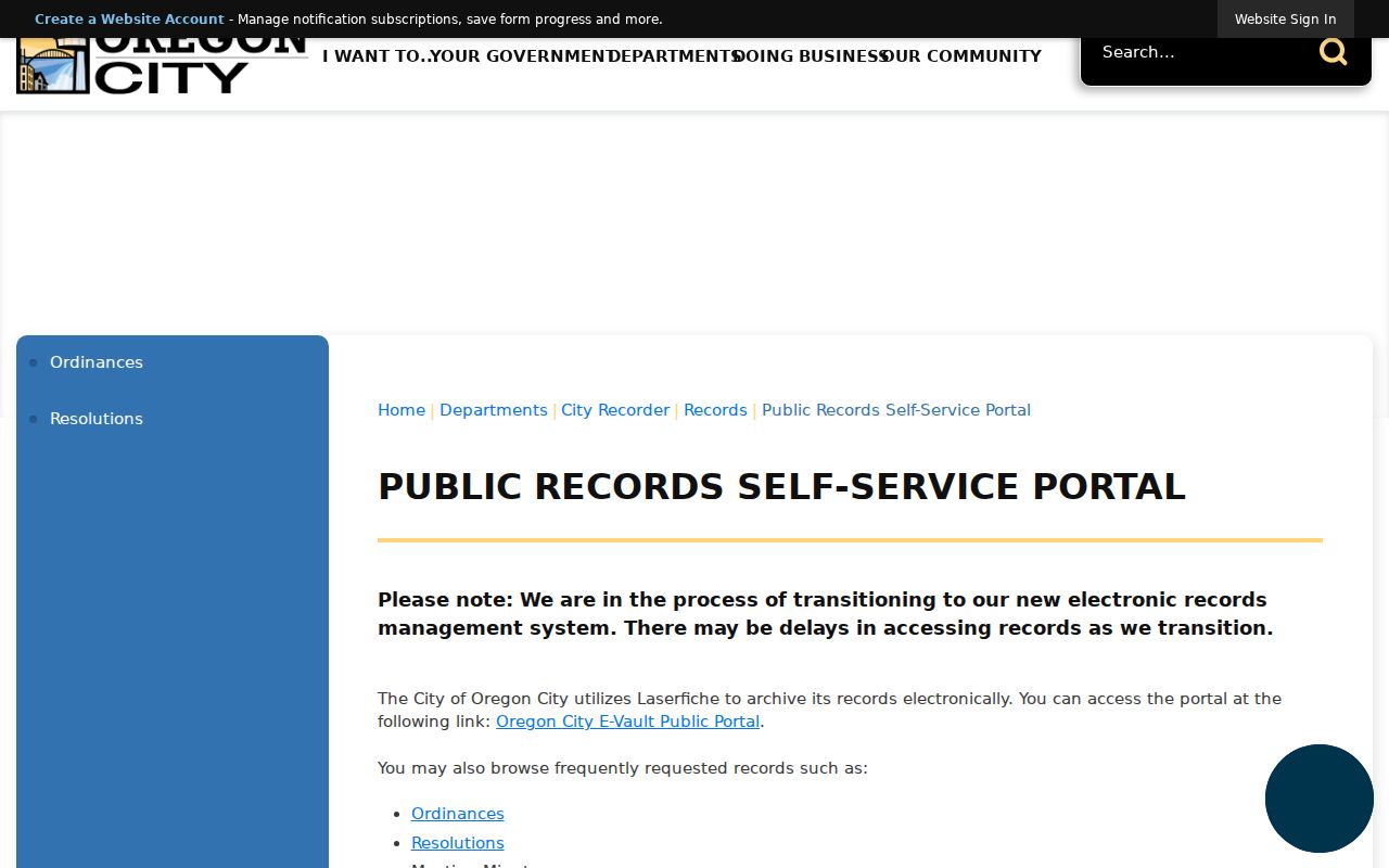
Oregon City’s Laserfiche self-service portal explains the migration notice and the current archive access path.
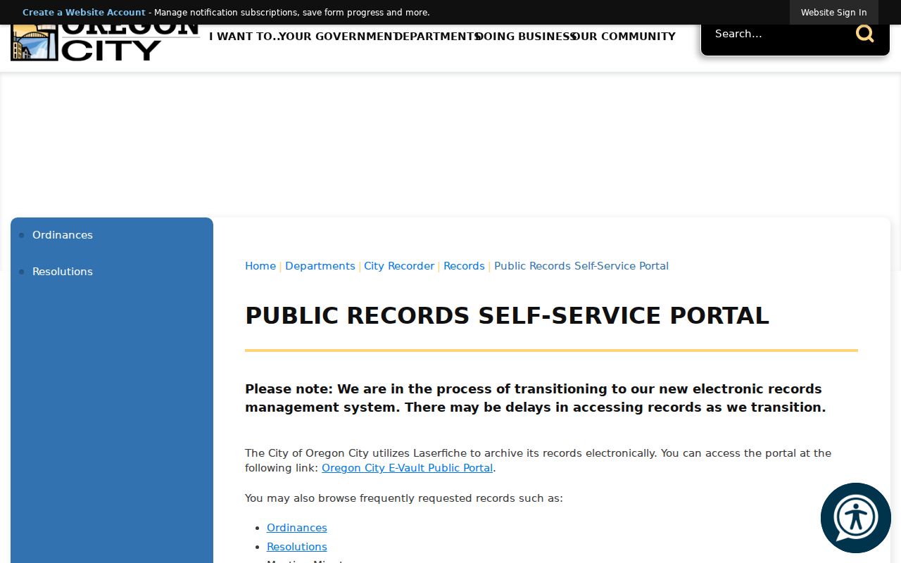
For a narrow address question, identify the department, record type, property, and date range in a request instead of treating a broad archive search as an occupancy index.
Oregon City Past Households in Local Papers
The Oregon City Public Library supplies dated local context through newspapers, census film, Sanborn maps, and a Council or Commission proceedings index. Its newspaper runs begin with the Oregon Spectator in 1846 and extend through later Oregon City titles to 1992. A notice can help date a move, a death, a local event, or an address reference, but it should be copied with the paper title and issue date. Search the paper closest to the event rather than relying on an undated result.
Sanborn Maps of Cities of Oregon are available on library microfilm for years that vary by location. They can show a building footprint or street form for the sheet and year actually consulted. The proceedings index covers August 6, 1850 through June 26, 1978 and can supply street, public-works, naming, or civic-improvement context. Neither source substitutes for an instrument’s legal description.
Note: A newspaper mention or map detail gains value when its date agrees with the property description and the correct historic place name.
Oregon City Addresses Need Historic Context
Oregon City grew across the low, middle, and upper Willamette River terraces. Early development clustered near Main Street and the falls, then expanded to the bluff, upper terrace, and later additions. Canemah, south above the falls, is now inside city limits. That history makes a legal description, plat, or dated map especially useful when older sources use a neighborhood, addition, or geographic reference that differs from a modern postal label.
The city identifies development and transportation changes in the 1910s and 1920s, while subdivision maps run from 1850 to the present. These are useful time and place clues, not proof of a citywide renumbering event. No official historic street-renumbering or renaming crosswalk was verified. Before joining an old number to a current property, compare the historical map, plat, council index, and document description rather than forcing a match.
Oregon City Past Households Trail
Property owners and occupants are different roles. After the deed chain identifies a period and parcel, use library household sources as dated leads. The Oregon Collection is reference-only in the Carnegie building and has local books, periodicals, reference works, and Oregon City High School yearbooks from 1910. The library also provides an in-library genealogy route, microfilm scanning, and a reference-desk path for a particular cataloged item.
- Write the historic place name, street form, legal-description clue, and target date exactly as each earlier record gives them.
- Ask the library staff or catalog for a relevant volume. The only verified local directory leads are a 1932 telephone directory and a 1936 rural directory lead.
- Transcribe a located entry exactly, including spelling, address, volume year, page or column, and any printed abbreviation key.
- Pair the entry with the closest federal Oregon census available for the period. The library has Oregon census film for 1850 through 1930, and later individual schedules follow the 72-year release rule.
- Test the result against a newspaper, Sanborn sheet, OHRI event, deed, or permit date. Use a reverse or criss-cross section only when the actual volume contains one.
No verified continuous city or reverse-directory run supports a simple year-by-year occupant list. If a volume is absent, use property tax maps, recorder legal descriptions, newspaper address mentions, and the proceedings index instead. The Oregon City directory book gives the collection-access details without turning scattered leads into a claimed full run.
Oregon City Past Residents at the Trail’s End
Burial, obituary, probate, and estate sources can close an Oregon City past-resident trail after a dated address or household lead has been established. The State Archives and Oregon Historical Records Index include Clackamas estates from 1844 through 1907 and other historical event series. An index hit should be treated as a pointer to the actual archive or court material, with original spelling preserved. A probate or estate record can identify an appropriate representative in a documented estate matter, but restricted material remains restricted.
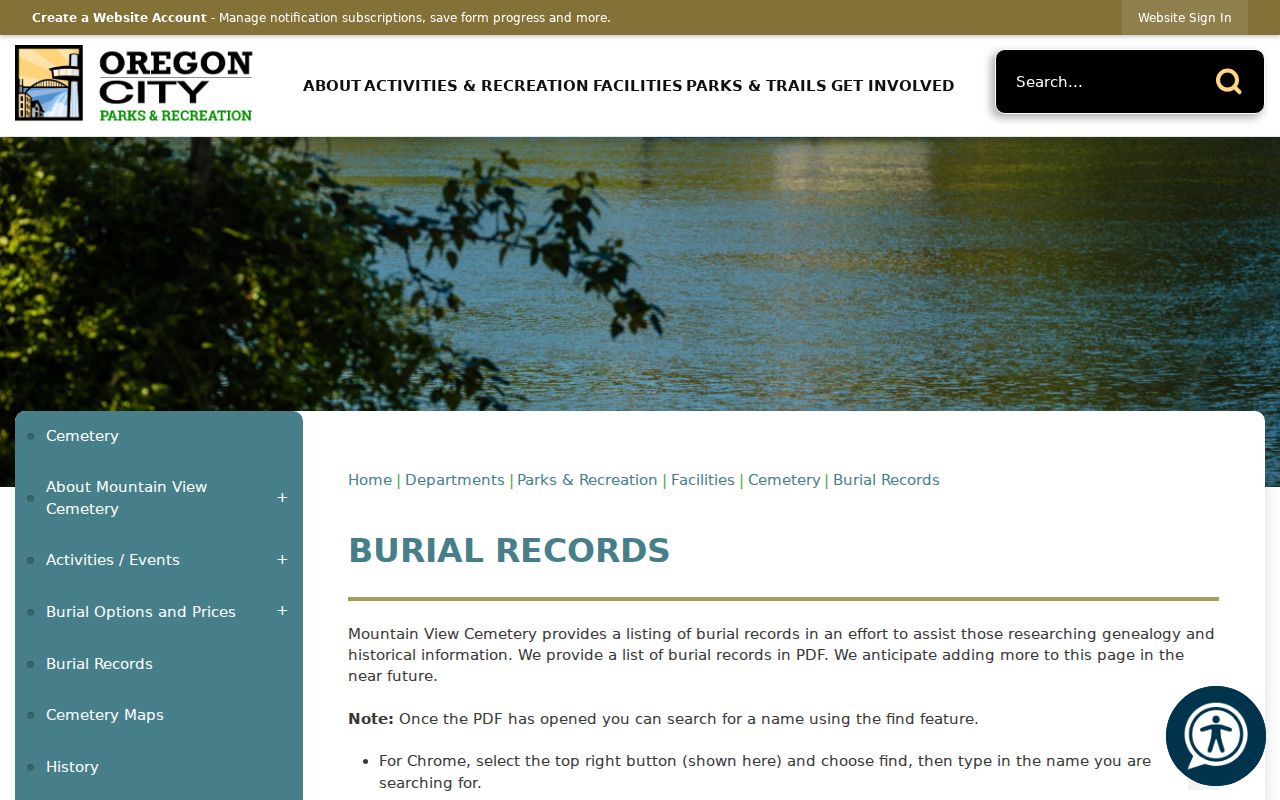
Mountain View Cemetery is a local endpoint source. The City’s burial-records page offers downloadable PDFs by surname, section, database, and mausoleum, with section maps. The cemetery was established in 1854, and the City identifies a first known burial in 1847. Cemetery staff can clarify current availability and copies after a record reference is found.
Oregon City’s Mountain View Burial Records provides the official surname and section index route.
A burial reference can support an end date or family-history lead, but it does not by itself prove a person’s final residence or every household relationship.
Oregon City Past Residents and Lawful Use
Research about past residents belongs to a focused house-history, family-history, estate, civic, or personal-safety question. Record the source, date, and role of every name before drawing a conclusion. Oregon’s stalking provisions are in ORS 163.730-163.755, and harassment is addressed in ORS 166.065. Public access rules do not permit anyone to use a partial record hit to contact, threaten, follow, or target a living person.
Lawful use. Keep an Oregon City address trail tied to documented history and use the responsible custodian for a specific record or correction.
Accuracy improves when the legal description, document date, historic place name, and source citation agree. Where the record trail ends, leave the gap visible rather than extending it with an unsupported identity claim.