
Oregon City Neighbors by Block
Official Oregon City neighbor research begins with what each source can actually show about a block. CMap is the documented local map layer. It provides a selected parcel, surrounding outlines, streets, and district context, but no owner or occupant names. The other sources add parcel-specific title, civic-boundary, or notice context one record at a time. The table separates those roles so a mapping result is not mistaken for a neighbor roster.
| Source | What It Shows About a Block | Access |
|---|---|---|
| CMap | Selected parcel, nearby outlines and streets, jurisdiction, districts, services, hazards, and map layers | Free viewer; no owner or occupant names, and no survey warranty. |
| Assessment and Recording | Parcel-specific ownership or title evidence tied to a legal description | Ask the custodian and compare legal descriptions, one parcel at a time. |
| Neighborhood map | Which of the 12 recognized association areas includes a site | City map for information, not a legal or survey boundary. |
| Occupant mailing labels | Mailing addresses in a recognized association | Association business only; commercial use is prohibited and no names are claimed. |
| Code, permit, and land-use notices | Address-specific public process or city-file context | Search or request the exact file; a notice does not prove present occupancy. |
| Election resources | Official local election routing and mapped voting geography | My Vote is personal; voter-list procedures and protections apply. |
Parcel owner, mailing contact, and current occupant are separate roles. Oregon City neighbors may be adjacent on a map without sharing a civic association, a mailing address, or any publicly available household record.
Map Oregon City Neighbor Parcels
CMap is the nearest official tool for the immediate block. Locate the address, inspect the selected parcel and nearby outlines, then pan or zoom to the adjoining sites. Layers, imagery, legend, and map context can help distinguish streets, districts, services, zoning, hazards, and jurisdiction. It does not offer a clickable named-neighbor list, and its boundaries are not survey quality.
- Search the starting address in CMap and select the correct autocomplete result. Confirm the City or Jurisdiction display before treating the property as an Oregon City site.
- Record the selected parcel's taxlot, account, map clues, and legal-description context. Use the surrounding outlines only to identify candidate adjacent parcels.
- Select one nearby parcel at a time and note its taxlot or parcel clue. Do not infer an owner or household from the map screen.
- Take a defined parcel to Assessment & Taxation for the ownership-information route, then use Recording Division research for title evidence if the question requires it.
- Use the Oregon City Street Directory only when the task expands from the immediate block to a full street's address-record chain.
That flow keeps the focus on geographic relationships. It also avoids turning a nearby map symbol into a conclusion about Oregon City neighbors.
Trace Oregon City Neighbor Taxlots
A neighboring taxlot is the bridge from map context to a specific records request. CMap can provide assessment facts, values, year built, a last-sale field, jurisdiction, voting context, zoning, services, hazards, surveys, and tax maps. Its intentional omission of owner names means the next route is not another map click. Contact Clackamas County Assessment & Taxation with the parcel context and ask what owner or tax information is releasable.
For a title-interest question, take the legal-description clues to the Clackamas County Recording Division. The division has a public viewing, research, and copying area; it says recorded ownership can be traced to the early 1850s, with records preserved on microfilm or computer image. Bring a date, party variant, document clue, and exact legal description. A taxlot alone is not an acceptable legal description for recording.
City Finance also provides an electronic route for city interests against real property under ORS 93.643. That is lien context, not a general ownership or occupant result.
The Oregon City Finance page identifies the lien-search availability and the city contact route.
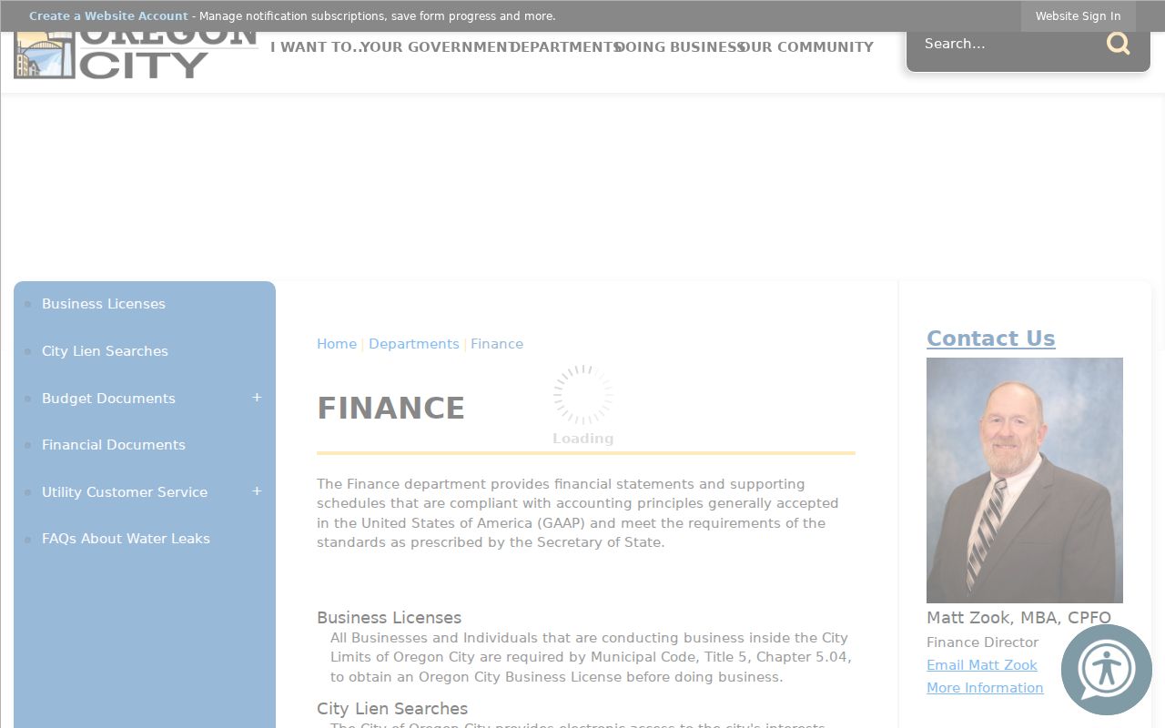
A city lien report can add a narrow property-interest clue. It should never be used to identify an Oregon City neighbor household.
Oregon City Neighborhood Associations
Oregon City recognizes 12 Neighborhood Associations as civic geography. They can help locate a boundary, a public meeting, or a land-use notice. They are not membership directories. The city lists some chairs and representatives as civic contacts, but that listing does not supply a private roster or prove that an individual lives at a particular address.
| Recognized Oregon City association | Civic use of the city listing |
|---|---|
| Canemah | Boundary and civic-notice context |
| Caufield | Boundary and civic-notice context |
| Elyville, formerly Barclay Hills | Boundary and civic-notice context |
| Gaffney Lane | Boundary and civic-notice context |
| Hazel Grove/Westling Farm | Boundary and civic-notice context |
| Hillendale | Boundary and civic-notice context |
| McLoughlin | Boundary and civic-notice context |
| Park Place | Boundary and civic-notice context |
| Rivercrest | Boundary and civic-notice context |
| South End | Boundary and civic-notice context |
| Tower Vista | Boundary and civic-notice context |
| Two Rivers | Boundary and civic-notice context |
The city's Neighborhood Associations program is the appropriate contact and participation route. An exact property may still need a map and jurisdiction check before a civic boundary is used.
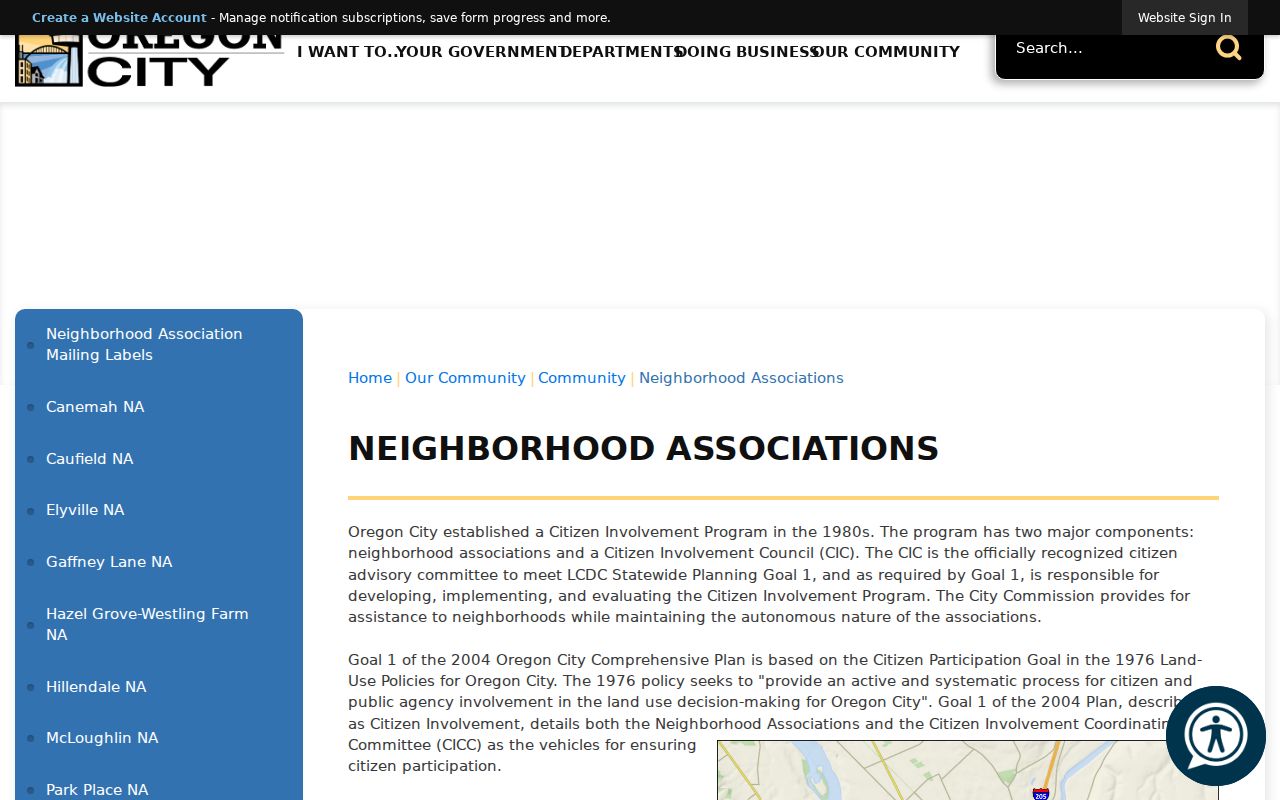
The program makes association boundaries and public participation easier to find without changing the privacy limits on personal household data.
Oregon City Association Boundaries
The official association map is the cleanest way to place an Oregon City address in civic geography. It should be read as an informational map, not a surveyed legal boundary. Pair it with CMap's City or Jurisdiction context, especially near the city edge or an area with a historic place name. Canemah, the three terraces, older additions, and later growth mean a postal place or a familiar neighborhood name can be less precise than the parcel record.
Oregon City's neighborhood association map depicts the 12 recognized areas.
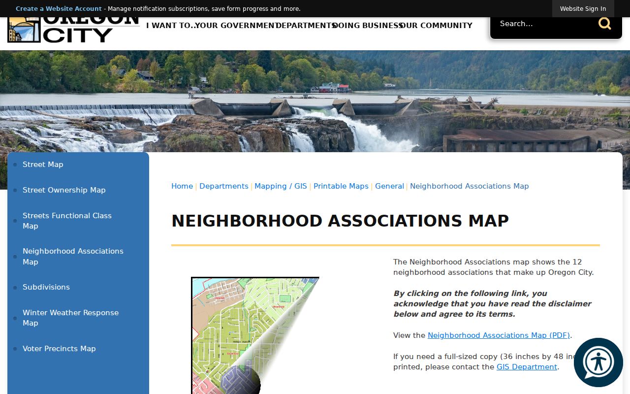
Use the map to find the right civic boundary and meeting route. Do not use it as a claim about a site's owner, occupant, or legal parcel line.
Oregon City Civic Mailing Labels
Oregon City's neighborhood mailing-label material has an unusually narrow purpose. The city provides Word and Excel occupant labels for the 12 recognized associations, updated June 16, 2026. The online material supplies occupant labels only, not taxpayer or owner lists. The city says the labels are for Neighborhood Association business and prohibits commercial use. Since September 2020, the label terminology has used “occupant,” and the address set includes physical addresses, including multiple-unit addresses.
The official occupant-label page states the use restriction and association coverage.
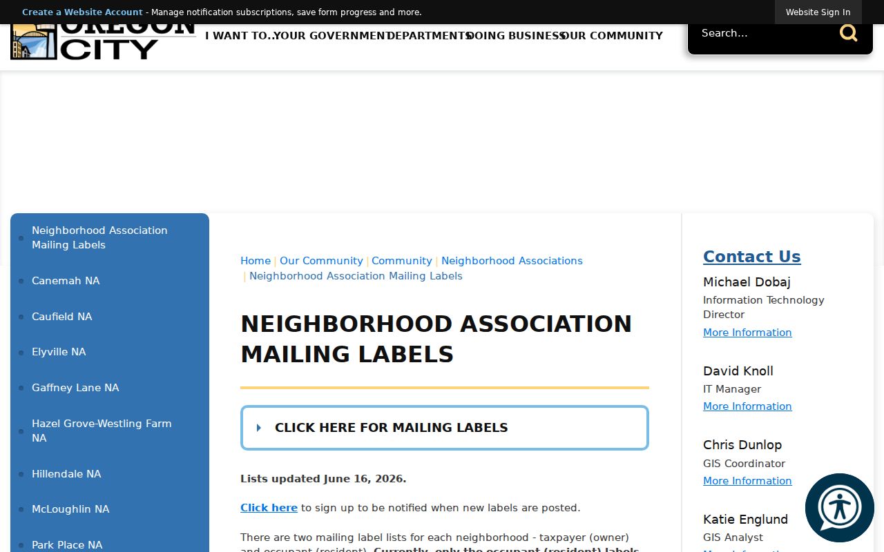
These are civic mailing tools, not a public neighbor directory. They should not be used to name, profile, or contact individual occupants outside the association-business purpose.
Oregon City Civic Notice Records
Neighborhood associations can create a public, address-based civic trail when a land-use application needs a neighborhood meeting. The city identifies annexation, zone changes, comprehensive-plan amendments, conditional uses, specified variances, subdivisions, site-plan or design review, and development plans among the relevant processes. Look for the exact application, notice, meeting material, or city file. Such material documents a public process, not current residency.
Private homeowners associations are different. Oregon City says private HOAs are established and managed separately and does not require them to provide contact information. Outside city limits, Clackamas Community Planning Organizations are the comparable civic structure. Neither category creates a reason to expect a private member list from the city.
For a specific city-created record, narrow the request by address, department, and date range. City Code Enforcement can have address-related complaint or enforcement context, but a complaint record should not be used to identify an Oregon City neighbor household.
Oregon City Neighbor Tools Compared
Official records and commercial neighbor-search categories operate differently. The official side has a named custodian, a stated scope, and documented limits. Commercial categories can compile copied material that is stale or combines people with similar details, while leaving the original source unclear. For a property or civic question, the documented county or city custodian is the useful starting point.
| Official Oregon City records | Commercial neighbor-search category |
|---|---|
| Shows a defined record role, such as mapped parcel context, a deed interest, or a civic notice. | May copy or merge material without showing the original record date or custodian. |
| Provides a correction or request route through the office that holds the record. | May offer its own deletion process, but cannot correct the source record. |
| States access boundaries, including protected addresses and nonpublic data. | Can contain stale, mixed, or incomplete entries. |
Accuracy improves when the map, assessment request, recorded instrument, or city file is read for its own limited purpose and date.
Oregon City Neighbor Privacy Limits
Several valid privacy boundaries stop a block lookup. CMap omits owner names online, a parcel owner is not necessarily an occupant, and My Vote is an eligible voter's personal registration and update tool rather than a block browser. The Secretary of State voter-list request process has its own use conditions, fee schedule, exemptions, and controlled delivery. CMap's Voting group identifies precinct and district geography without publishing named voters.
Oregon's Address Confidentiality Program provides a substitute mailing address and related assistance to qualifying survivors. Election address-exemption procedures are separate. Protected voter addresses, household-member information, utility records, delivery data, and sealed or confidential material are not gaps to work around. A result that is absent or withheld does not prove that no one is present at an address.
Oregon City Address Safeguards
A careful address check separates physical, mailing, and legal-description evidence. The physical or situs address identifies the place used by CMap and city permit records. A mailing address, if a custodian lawfully supplies one, can differ from the property location. A legal description, such as metes and bounds or subdivision lot and block, is the durable recorded identifier. Comparing those three forms prevents a nearby parcel or familiar street number from being treated as a match.
The City GIS audit found in-city address points tagged 97045, but a 97045 mailing address alone does not prove municipal jurisdiction. Check the City or Jurisdiction display in CMap for the property. If city documents are missing from the self-service archive during the Laserfiche migration, make a focused Recorder or GovQA request instead of assuming the original record has disappeared.
Note: A map, address label, or recorded property interest has a date and purpose, so compare it with the exact question before drawing a conclusion.
Contacting Oregon City Record Holders
For questions about an exact city file, first identify the department. Oregon City's public staff directory can route a requester to the City Recorder, Building, Inspections, Permit Information, Code Enforcement, Mapping/GIS, Planning, Library, or Police categories. Its Category selector, First Name, Last Name, and Search controls locate public staff contacts only. It is not a resident-search tool.
The Oregon City staff directory provides the public department-contact route.
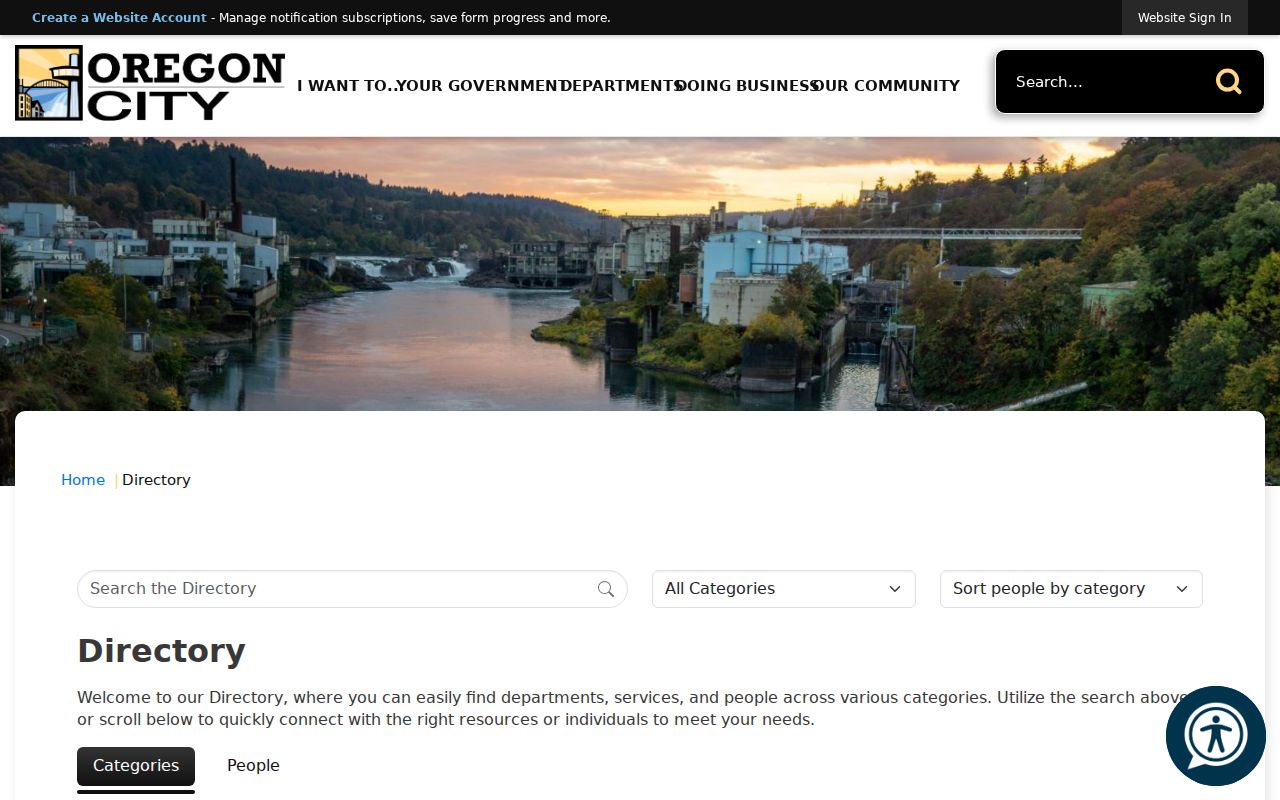
Use the contact listing to direct a narrow request to the proper records holder. The City Recorder's GovQA Records Center is the city-wide route for ordinary public-record requests.
Clackamas County Elections is the local office route for a defined election question, while state procedures control voter-list requests and protections.
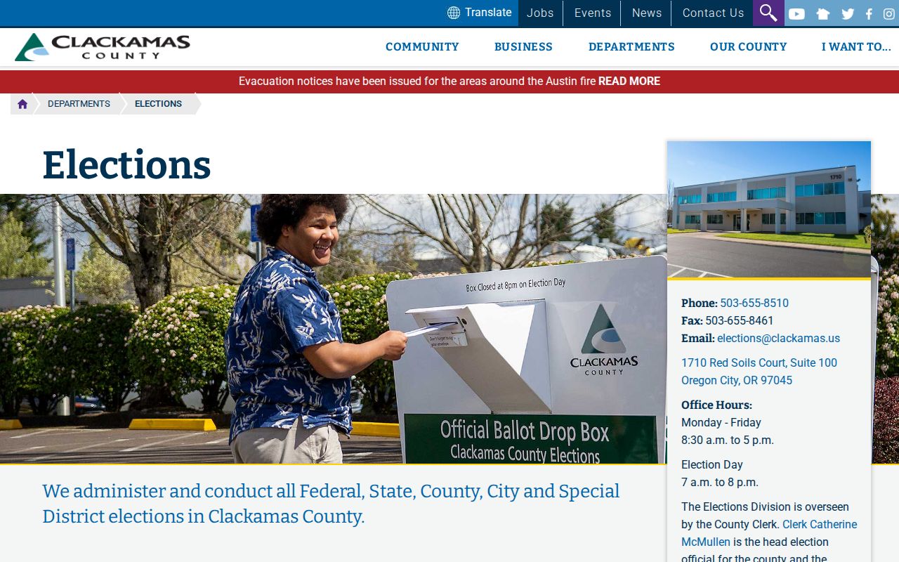
The elections route supports official administration and policy questions, not a public browser for people on a block.